Tiled CAD Models in DXF Format
GIS File Name: Bos3D_[Tile]_CAD.dxf
Updated: July 2020
Formats: Autodesk Drawing Exchange Format r.14 (.dxf)
Description
The Boston Planning and Development Agency (BPDA) maintains a 3D model of the city as a visualization and analytical tool for understanding ideas related to the future of neighborhoods. The BPDA shares the Boston 3D city model in several formats intended to facilitate collaboration between diverse communities who have an interest in understanding places in the city as they have changed or as they may be changed. Find an overview of the BPDA's city model sharing strategy in Boston 3D User Guide.
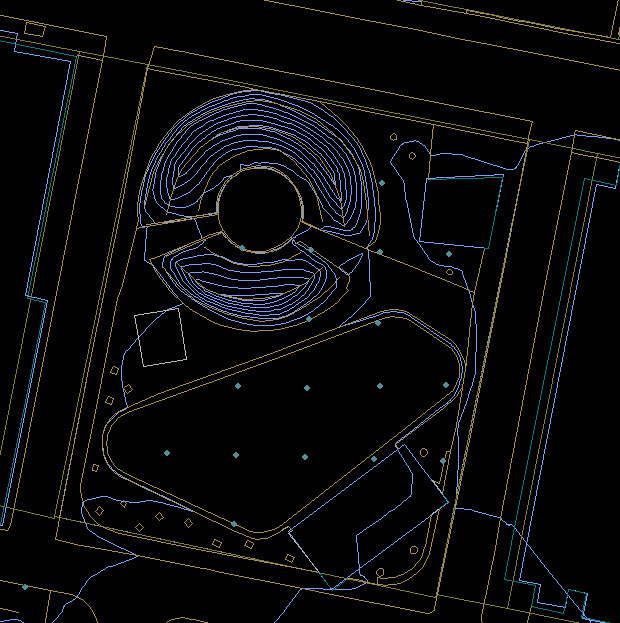
The Tiled CAD datasets provides exports of several layers related to the BPDA's City Model:
- Planimetric Groundplan (edge of pavement, shorelines, etc.)
- Digital Terrain Model Breaklines and Masspoints
- One foot Contours (Elevated)
- Building Model Footprints elevated to buildng height
- Property Parcels
Purpose
These tiles are made available for users who use design tools. They can be used as a location reference, source layers for modifiable groundplan linework, terrain and extrudable buildngs.
Sources
These layers come from a variety of sources. Most of them are from the 2011 photogrametric survey by InfoTech. Most of the DTM comes trom the same Infotech survey. The DTM features in the areas outside the Boston city limit come from the MassGIS 2005 breaklines and masspoints. One foot contours within the city limits of Boston are derived from the Infotech DTM. Buildng Model footprints are made from the Boston 3D Current 3D buildng Models. Property parcels (2017) are downloaded from Boston Open Data.
Coordinate System
See the Bos3D User Guide for more discussion of the BOS_Shift Coordinate System.
Projected Coordinate System: State Plane Massachusetts Mainland FIPS 2001 Feet, NAD1983
Coordinate offsets: 732,200 feet West and 2,902,900 feet South.
Vertical Coordinate System: NAVD 88 Feet (Height)
Usage Notes
- Be sure to specify units of Feet when importing DXF layers related to the Boston 3D model.
- For editing terrain, we recommend modifying the DTM Breaklines and Massponts layers and generating a terrain mesh with your too'ls delaunay triangulation module.
- Much of the same 2D ground plan information is also available in vectore form as layered PDF documents that can be opened in Adobe Illuistrator and similar tools.